A reconstruction using evidence from our dig shows how the nearest Iron Age fort to St David’s could have looked – before it began collapsing into the sea.
Caerfai (Penpleidiau) is one of a string of Iron Age forts that line the coast of Pembrokeshire. Built around 2,500 years ago, before the Roman conquest of Wales, Caerfai is the closest to St David’s, and one of the largest, marked by four lines of ramparts facing out towards the sea.
But why did people build these monuments? How did they originally look? And what were they really for?
The story behind these incredible Iron Age monuments is at risk of being lost forever, as they are steadily collapsing due to coastal erosion. Large amounts have already been lost, and as the effects of climate change take hold, the rate of destruction is only increasing; at least 1m has been lost in the last 12 months alone.
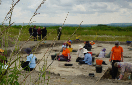
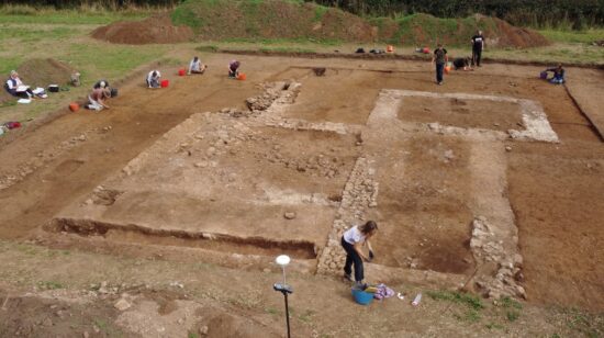
To find out more about the story behind Caerfai, DigVentures was invited by CHERISH Project to crowdfund and lead a series of rescue digs to collect as many clues as possible – before it’s too late. Thanks to the digs, and to everyone who took part or crowdfunded them, we were able to recover evidence that has now been used to reconstruct how these monuments might have originally looked:
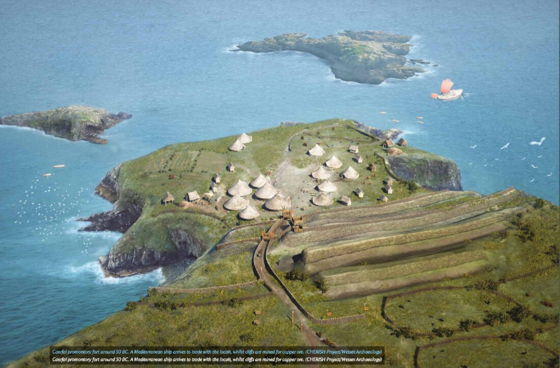
A reconstruction showing Caerfai around 50 BC. A Mediterranean ship arrives to trade with the locals, while the cliffs are mined for copper ore. The image was created by Wessex Archaeology on behalf of CHERISH Project, using evidence from crowdfunded excavations by DigVentures.
From roundhouses and workshops, to crafts and pottery, some of the evidence has been surprising. You could easily assume that since we call it a fort, the main function would be military or defensive. Instead, the evidence suggests that these so-called ‘forts’ were so much more than that; they were places where people lived, worked, and traded – busy hubs of activity, closely connected to the sea routes and an international network that extended west towards Ireland and south towards the Mediterranean along which the resources for making metals were exchanged.
Rather than a symbol of military dominance, they could instead be seen as beacons for secure trade, and as a place where the people who lived here could exchange the copper they mined from the cliffs below for other goods.
How was the reconstruction created?
The reconstruction was created by Wessex Archaeology, using topographical and archaeological evidence provided by DigVentures and CHERISH Project, including imagery and geophysical survey results, to physical evidence of buildings and artefacts, and reimagines the site as it might once have looked.

Geophysical survey was carried out on the headland

It revealed the presence of multiple roundhouses and other buildings
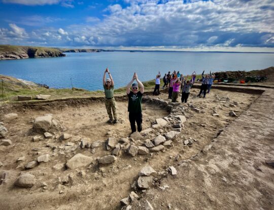
Excavation showed that the roundhouses has stone bases and well-made floors

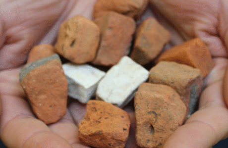
And uncovered a furnace and crucible for metalworking

Evidence from the ramparts indicated that the middle ones were likely faced with stone, with palisades along the top

All in all, they provided clear signs that this was a busy and well-connected place that would once have been a remarkable place to live!
Today parts of the fort continue to fall into the sea as the effects of climate change – rising seas, more frequent storms, and more intense rainfall – are accelerating erosion of the coastal cliffs.
We cannot stop the erosion, but ongoing scientific study can help us learn more and create a record of what was once here, before the opportunity is lost forever.




There are no comments on this post yet. Be the first!