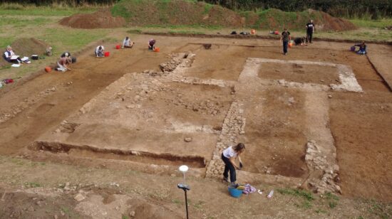
In archaeology, geophysical surveys can be used to create maps of buried archaeological features, like walls, foundations, ditches, or traces of human activities like metalworking.
When their physical properties contrast measurably with the surrounding ground, these features can be detected using a range of different geophysical survey instruments, such as magnetometers, electrical resistance meters, ground-penetrating radar (GPR), and electromagnetic (EM) conductivity meters.
These instruments are used to take regular readings across an area, which are then rendered as image maps. Archaeologists can then interpret these maps, and use the survey results to gain insight into the layour of a site, and even to guide decisions about where to excavate.
Unlike other archaeological methods, geophysical survey is neither invasive nor destructive, which is why it tends to be used where preservation (rather than excavation) is the goal, and to avoid disturbance of culturally sensitive sites such as cemeteries.
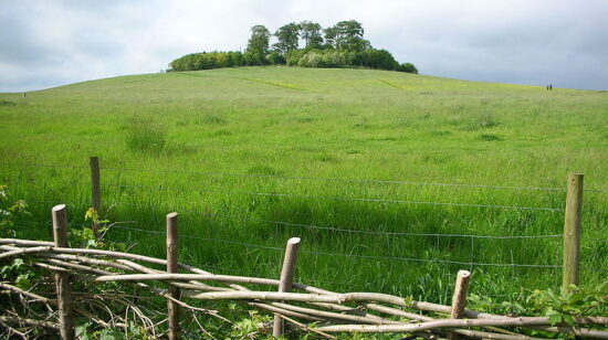
As part of Ancient Connections, DigVentures is using a combination of geophysical and archaeological techniques to investigate a multitude of sites, including churches, chapels, cemeteries, and holy wells which make up the distinct landscapes of pilgrimage spread across both Wexford and Pembrokeshire.
The survey results will help the Ancient Connects team to to understand the layout and chronology of these sites, and establish the location of early medieval monastic enclosures, in order to draw comparisons that can provide new information about the cultural, historical, and religious links between the two regions over the course of millennia.
Data collection and interpretation of the results will be carried out in collaboration with local communities, through workshops, skill-building, online courses, and participation in geophysical surveys.
Results and progress will also be shared through:
- Geophysical and Archaeological Report
- Public event announcing project discoveries and highlights
- Digital engagement, including articles, social media, and live updates
- Bilingual legacy webpages summarising the results