Shadow Woods
These are areas that used to be wooded and still show evidence of where the forest once stood.
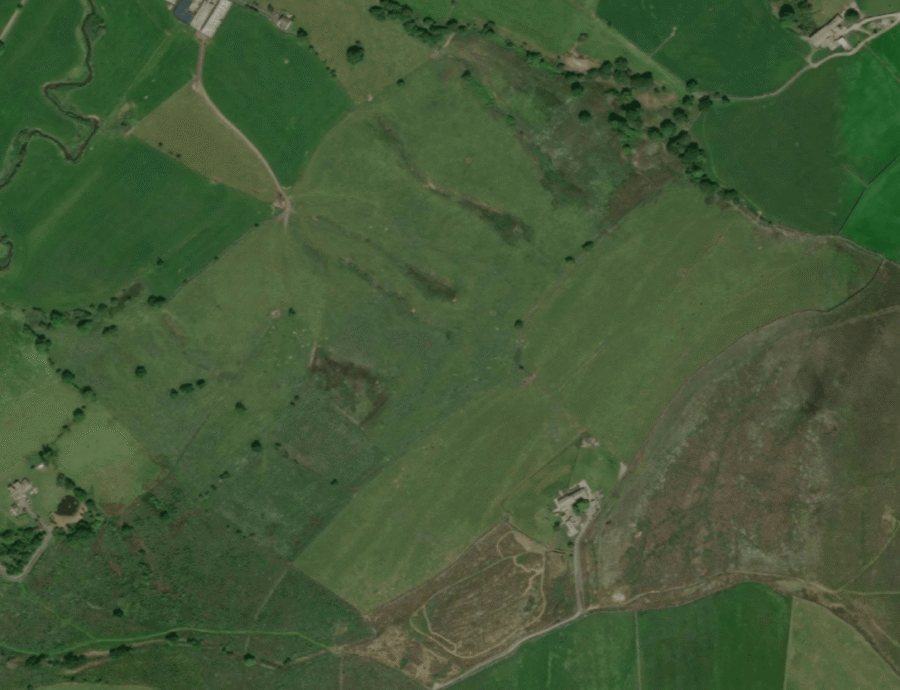
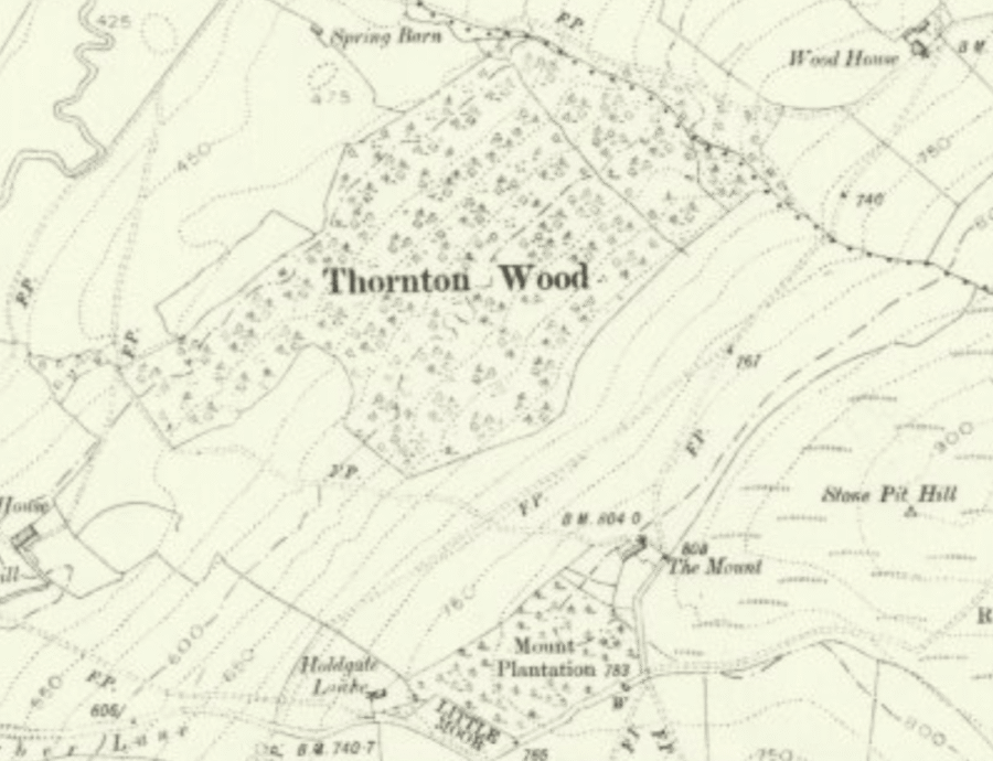
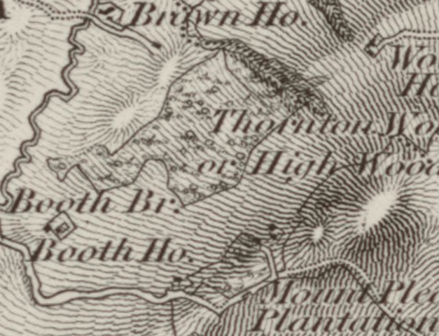
These are areas that used to be wooded and still show evidence of where the forest once stood with scattered veteran trees, woodland ground flora and distinctive soil patterns. The soils in shadow woods can still hold the seed-bank, microbes and fungi that once supported the historic woodland, making these places where reforestation efforts are much more likely to be successful.
These can sometimes be identified by remnant ancient trees representing the last ones standing where a woodland once grew. Sometimes you can see lone trees that appear on modern aerial imagery marked on the historic mapping, suggesting they may have ancient origins.
Woodland plants can also continue to grow after a woodland has been cleared. Bluebells, bracken and gorse can suggest a possible shadow wood, which can be further supported with other evidence. For example, place names using words like wood and coppice can give further evidence for old woodlands.
Comparing the aerial imagery to the historic mapping and using external sources like Land Utilisation Surveys can help identify shadow woods.
What to look for:
- Woods on historic maps that don't appear on satellite
- Changes in vegetation
- Place names with woodland words