Hedgerow
A boundary line of trees or shrubs over 20m long and less than 5m wide.
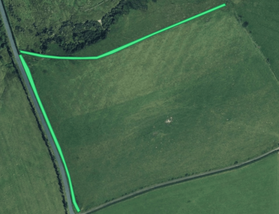

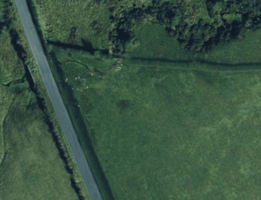
The UK Biodiversity Action Plan (UKBAP) definition of a hedgerow is “any boundary line of trees or shrubs over 20m long and less than 5m wide, and where any gaps between the trees or shrub species are less that 20m wide (Bickmore, 2002). Any bank, wall, ditch or tree within 2m of the centre of the hedgerow is considered to be part of the hedgerow habitat, as is the herbaceous vegetation within 2m of the centre of the hedgerow.”
Hedgerows have often been planted as boundary features. They can also be a leftover feature after a woodland is cleared or grow up from scrub left between field margins. The network of hedges that crosses England has Bronze Age origins and may even extend back to the neolithic with trees having been left as agricultural boundary markers.
Hedgerows can be ‘managed’ – trimmed or trained into a particular shape or ‘relict’ – no longer managed and allowed to grow wild. This can cause them to develop gaps and become irregularly shaped. This means they don’t have to be perfectly neat continuous linear forms to be considered a hedgerow.
Although he UKBAP definition allows gaps of up to 20m in a hedgerow, you can use your judgement to decide when a scattered row of trees becomes a hedgerow that needs to be mapped.
Your polygons should include any bank, wall, ditch or tree that is within 2m of the centre of the hedgerow. If the bank, wall or ditch is also part of another archaeological feature, you can overlap the hedgerow polygon onto it.
Further Reading:
https://historicengland.org.uk/advice/technical-advice/parks-gardens-and-landscapes/hedges/
What to look for:
- Linear strips of vegetation at least 20m long and under 5m wide.