Field System
Field systems are the complex patterns of boundaries that show how farmland was divided and managed in the past.


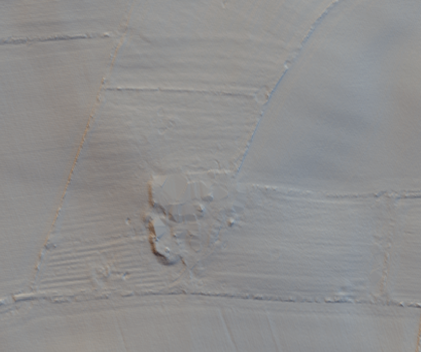

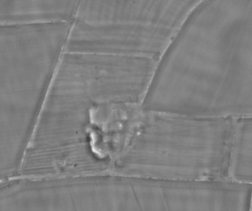


A ‘system’ is a collection of fields that can be recognised as part of a whole. This type of farming began during late prehistory, but medieval and post-medieval field systems are more common and more likely to be visible.
There are both regular and irregular field systems. Regular field systems are laid out in an intentional and organised way. Plots will be square or rectilinear and aligned on the same axis. These systems can cover 2-15 sq km and are also described as “cohesive, “brickwork” or “coaxial” systems (see diagram). Reaves are a distinct regular field system specific to the Bronze Age (2600BC-700BC) composed of linear stone banks dividing parallel plots that may be kilometres long. Irregular systems are large areas of conjoined fields all with different outlines and sizes. Individual plots may be rectilinear, polygonal, triangular or curvilinear. These are often formed through what is called accretion – new plots are added on to the system as they are needed.
Individual plots within field systems can range from 400sq meters to 5000sq meters. Paths like hollowed or embanked trackways are a necessary part of any type of field system because farmers would have travelled between plots and to their settlements daily.
Further Reading:
Historic England’s Introduction to Heritage Assets: Field Systems
What to look for:
- Evidence of ploughing
- Field boundaries defining many plots of land
- Associated trackways or hollow-ways
- Associated settlements