Field Boundary
Field boundaries are the visible edges of different plots of farmed land.


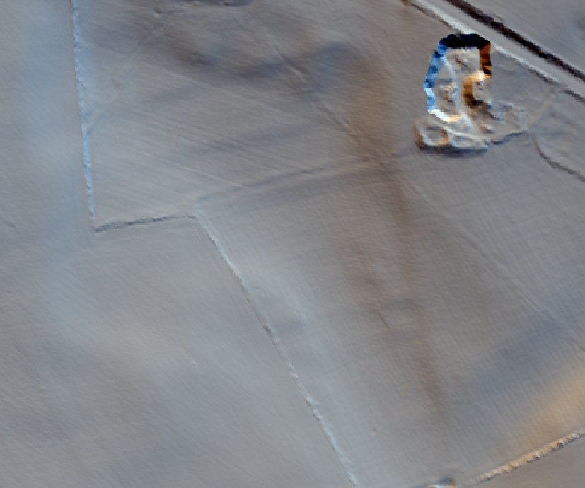
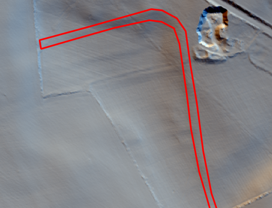


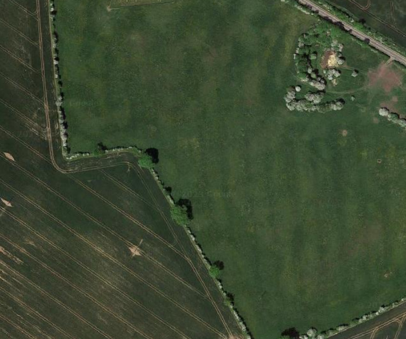

These can be physical boundaries formed by a wall, bank, ditch or they may be visible due to a change in ploughing direction or the presence of a plough headland. Patterns of preserved boundaries are how we can identify early types of field systems.
Boundaries may have been made to contain livestock, to divide crops, or demonstrate ownership. Depending on availability of material they might be made of stone, rubble, timber or simply a bank or ditch. Sometimes we can recognise boundaries by field use. Ploughing created distinct types of earthworks and a change in ploughing direction or the presence of a plough headland can demonstrate where past farmers started and finished ploughing their land.
Ancient field boundaries are occasionally still in use today as part of modern field systems. Removing boundaries could be labour intensive so it was simpler to keep following old boundaries than to remove them. This can be recognised as smaller or irregularly divided fields visible within more open modern fields.
What to look for:
- Banks, ditches or stone walls
- Association with ploughing
- Association with settlements
- Small irregularly bordered fields within a modern farm field