Building a methodology for Priority Grassland Potential: Yorkshire Wolds
- Area size: 1,114 km2
- Project partner: Natural England, North and East Yorkshire Ecological Data Centre
- Launch date: November 2026
The chalk and limestone grasslands of the Yorkshire Wolds are among the county’s most important habitats supporting many of the country’s rarest and most threatened plants. Despite their value for biodiversity, they are rapidly disappearing due to changing land use practices, development and modern agriculture. Natural England is working to preserve these fragile places, but nature recovery is only as good as the evidence behind it – and without an accurate picture of what survives, it’s difficult to make the right decisions to protect it.
For the Wolds, the existing evidence base is inadequate. There are no accurate, up-to-date maps of these species-rich grasslands in the Wolds. This means professionals are at a disadvantage when it comes to targeting their efforts for nature recovery.
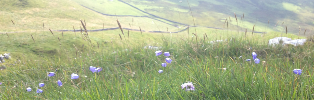
This mission is the first step towards fixing that gap and we need your help to do it. This new partnership with Natural England builds on the work we did together on the Citizen Science Local Pilots Project and the Integrated Citizen Science Survey Design project. Drawing on our earlier habitat mapping work, we’re recruiting Futurenauts from anywhere in the world to map broad habitat types across 1,114 km² of the Yorkshire Wolds. Using aerial photography, satellite imagery and a range of LiDAR visualisations, you’ll help create the broad baseline habitat data we need to develop our new method of identifying species-rich grassland.
This mission has been developed in partnership with the North and East Yorkshire Ecological Data Centre (NEYEDC), who are providing their expert knowledge of the Wolds’ grasslands to refine the methodology for identifying priority grasslands from Earth Observation imagery which will be tested in a follow-up mission. This partnership hopes to pave the way in showing how the efforts of online volunteers and field volunteers can be combined to create quality assured and ground-checked datasets for use in land management.
No experience is needed to take part in this mission. The Futurenaut Cadet training course is completed online and can be done at your own pace. It will take between 4-8 hours. Once you complete the training course you’ll be ready to join the mission.
This series of missions is a unique partnership between people, organisations and government achieving work that could not be done otherwise – Natural England
The Landscape
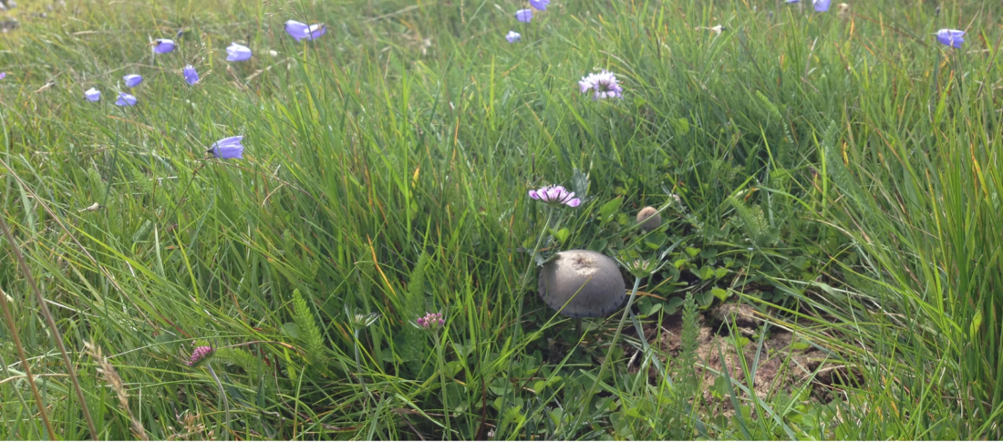
The Yorkshire Wolds is a chalk landscape of rolling hills, dry valleys and open farmland, and has been put forward to become a new National Landscape due to its unique beauty and value. In addition to supporting nationally important grassland, the Wolds also contains the most northerly chalk streams in the world and a significant aquifer system. Yorkshire’s State of Nature report identified limestone and wet habitats as the two environments most strongly associated with species of conservation concern, and both feature prominently in the Local Nature Recovery Strategy (LNRS).
The Wolds is a working landscape, and its chalk soils are as productive for farming as they are rich for wildlife. From the ground, much of the Wolds looks like open farmland. But seen from above through aerial photography, satellite imagery and LiDAR, a more detailed picture can begin to emerge – and this is the view Futurenauts will help us build.
See all the archaeology digs, talks, festivals and other events coming up at DigVentures
Learn more about digging up the past and have fun while you're doing it!
We're connecting people who love archaeology, with opportunities to do archaeology.
Find projects you can be part of or follow all the archaeological action with our Live Updates ›
Archaeology experiences and other perfect presents for people who love the past.

