Revealing Hidden Water: The North Pennines National Landscape
Mapping ponds and lakes to guide nature recovery and habitat conservation.
- Area size: 2,369 km2
- Project partner: North Pennines National Landscape
- Launch date: 9 September 2024
The North Pennines National Landscape covers 2,369 km² of upland England, and until recently, nobody had a complete picture of its open water. For the first mission of Natural England’s Citizen Science Local Pilots project, the National Landscape team needed detailed records of every pool, tarn and seasonal water body they managed. Not just for nature recovery planning, but to guide environmental DNA (eDNA) sampling – a technique that identifies which animal species have been present in an area by analysing traces left behind in water.
Through Deep Time, citizen scientists worked together to map these hidden features using satellite imagery, LiDAR and historic maps. By identifying the remains of leats, reservoirs and water channels, participants helped to reconstruct the infrastructure that once powered one of Britain’s most important mining landscapes, adding new knowledge to the archaeological record and helping researchers to better understand how people engineered water across this remote upland environment.
“I learnt something new by the existence of eDNA, I had never heard of eDNA until this project. Apart from that, feeling part of a team has made me feel great in myself.” – James, 45–54, unemployed

The Landscape
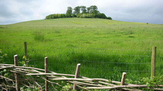
The North Pennines National Landscape is one of England’s wildest upland regions. Rolling moorland, steep valleys and exposed hills stretch across a landscape shaped as much by industry as by nature.
For centuries this region was a centre of lead mining, and water was the key to making it work. Complex systems of channels, reservoirs and dams were built to move water across long distances, powering machinery and draining mines.
Many of these features are now difficult to see on the ground. Some survive as shallow earthworks across the moors, while others exist only as subtle lines visible in LiDAR data. Mapping them helps reveal the scale and ingenuity of the water systems that once powered life and industry across the uplands.
“It has been eye-opening to work with DV, appreciating the reach and scale of their engaged citizen scientist audience around the world. The speed at which the NPNL Open Water Mission was completed was astounding, and the quality of the spatial data created is really high.” – Adam Millington, Biodiversity Lead, North Pennines National Landscape
Project Map
Explore a snapshot of the full 2,369 km² of mapped North Pennines National Landscape. Each marker represents a water body identified by our Futurenauts - 7,430 in total, now informing nature recovery and eDNA sampling across one of England’s wildest landscapes.
Our interactive map cannot be used on small screens. Please use a desktop, laptop or large tablet (such as an iPad) to view it.
See all the archaeology digs, talks, festivals and other events coming up at DigVentures
Learn more about digging up the past and have fun while you're doing it!
We're connecting people who love archaeology, with opportunities to do archaeology.
Find projects you can be part of or follow all the archaeological action with our Live Updates ›
Archaeology experiences and other perfect presents for people who love the past.

