Where It All Began: Brightwater Pilot
Where Deep Time began, seeing citizen scientists and AI join forces to rewrite the archaeological record of County Durham.
- Area size: 220 km2
- Project partner: Nesta
Brightwater is where Deep Time began. In 2021, we wanted to find out whether citizens and AI could work together to fill the gaps in the official archaeological record for lowland County Durham, the database that real planning decisions depend on. And as it turned out, they could!
We offered 100 spots for participants, our Pastronauts, but after a thousand applications, we expanded the cohort to 150. Together, they surveyed 220 km² of landscape using LiDAR, satellite imagery, and historic maps. Their findings became the training data for our first-ever crowd-sourced AI model.
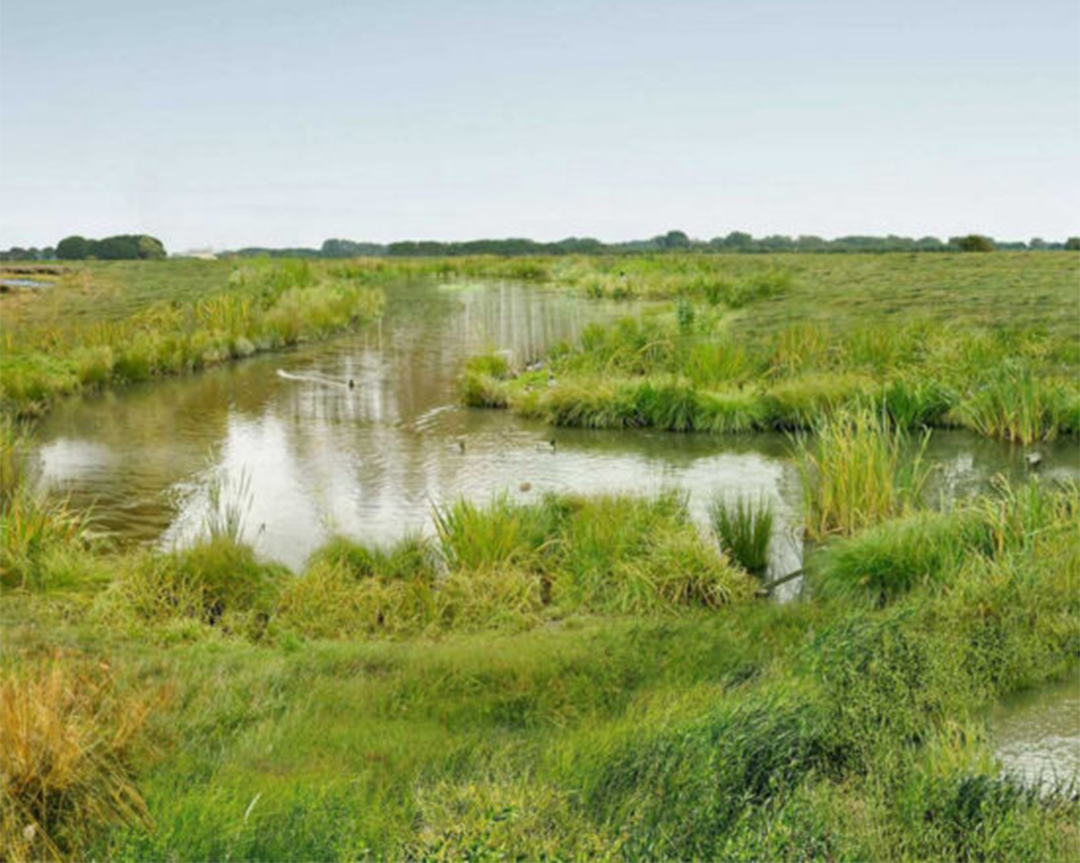
The Landscape
The Brightwater landscape follows the River Skerne through 220 km² of lowland County Durham, from farmland and wetland, to patches of ancient woodland that, from the surface, look like ordinary English countryside. Beneath this seemingly familiar countryside lies a dense archaeological record containing prehistoric settlements, medieval field systems, industrial-era features and long-lost field boundaries.
Many of these features had never been formally recorded. Shadow woods and ghost ponds existed only as faint traces, invisible to the organisations responsible for managing this land. And that invisibility had real consequences, as you can’t protect heritage you don’t know is there, and you can’t use the past as a guide to nature recovery if it’s not on the map.
Project Map
Explore a snapshot of the full 220 km² of mapped Brightwater Landscape across lowland County Durham. Each polygon represents an archaeological feature identified by our Pastronauts - 2,361 new discoveries added to the Historic Environment Record.
Our interactive map cannot be used on small screens. Please use a desktop, laptop or large tablet (such as an iPad) to view it.
See all the archaeology digs, talks, festivals and other events coming up at DigVentures
Learn more about digging up the past and have fun while you're doing it!
We're connecting people who love archaeology, with opportunities to do archaeology.
Find projects you can be part of or follow all the archaeological action with our Live Updates ›
Archaeology experiences and other perfect presents for people who love the past.

