Baseline Habitats for Natural Capital: Brightwater 2024
Returning to County Durham to map the ecology alongside the archaeology, building a complete picture of the Brightwater landscape.
- Area size: 483 km2
- Project partner: Durham Wildlife Trust
- Launch date: December 2024
In 2021, our Pastronauts mapped 8,000 ancient sites across lowland County Durham, including many features that had never been formally recorded. In 2024, we came back to fill in the rest of the landscape’s story.
Partnering with Durham Wildlife Trust through the Citizen Science Local Pilots project, we trained 742 participants (known as Futurenauts) to identify 16 broad habitat types across 483 km² of the Brightwater landscape, exploring how cultural heritage mapping and natural environment mapping could work together to support the Trust to make informed landscape protection and recovery decisions.
“I gained a better understanding of the project areas, especially being a resident and frequent visitor to all the areas covered.” – Jim, 68, retired healthcare professional

The Landscape
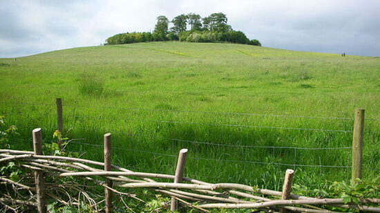
The Brightwater landscape follows the River Skerne through 483 km² of lowland County Durham, as a working mix of farmland, wetland, urban fringe and pockets of ancient woodland. It’s not a wilderness, but rather a landscape where nature recovery has to happen alongside agriculture, housing, and industry.
What makes this mission distinctive is the layer that came before it. In 2021, our Pastronauts mapped thousands of archaeological features across this same ground. Our Futurenauts were now adding the ecological picture, mapping 16 habitat types across the same landscape, overlaid onto the heritage record, helping us to understand this place across time, as well as space.
Project Map
Explore a snapshot of the full 483 km² of mapped Brightwater landscape across lowland County Durham. Each polygon represents one of 11,646 habitat types mapped by our Futurenauts - the ecological companion to our 2021 archaeological survey.
Our interactive map cannot be used on small screens. Please use a desktop, laptop or large tablet (such as an iPad) to view it.
See all the archaeology digs, talks, festivals and other events coming up at DigVentures
Learn more about digging up the past and have fun while you're doing it!
We're connecting people who love archaeology, with opportunities to do archaeology.
Find projects you can be part of or follow all the archaeological action with our Live Updates ›
Archaeology experiences and other perfect presents for people who love the past.

